Marine resources
93 charts, guides, routes and documents shared by mariners. 186 official bulletins are listed separately.
Popular
 Resource
ETA Calculator: Arrival Time by Speed and Distance
Work out the ETA from speed and distance, the speed needed for a wanted arrival, or the distance you can cover by a date. Ports with their time zones and daylight saving applied.
231 Resource
MF/HF DSC Coast Stations with MMSI (GMDSS Test Stations)
MF/HF DSC coast radio stations worldwide with MMSI numbers and frequencies for GMDSS equipment tests: find the nearest test station, its MMSI and the frequencies it answers on.
125 Resource
True Wind Calculator
True Wind Calculator
Shared by@adminContributor
218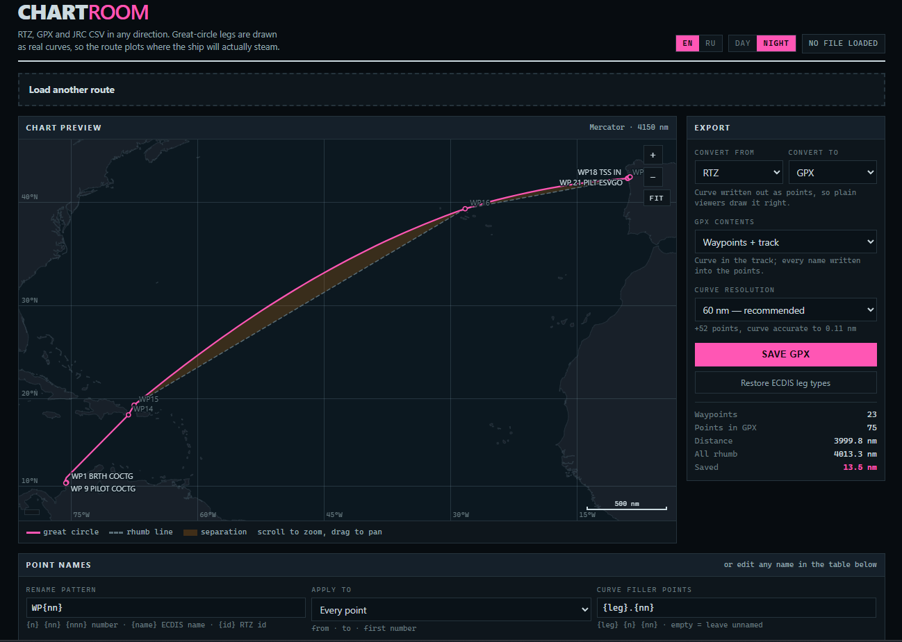 Resource
Chartroom - Route converter RTZ, GPX & JRC CSV
RTZ, GPX and JRC CSV in any direction. Great-circle legs are drawn as real curves, so the route plots where the ship will actually steam.
Shared by@Kirk_roContributor
2310 Resource
Marine VHF Channels and Frequencies (Full List)
Every marine VHF channel with its ship and coast station frequencies: channel 16 and 70, port operations, duplex and simplex channels, US and international use. The table mariners look up before calling.
29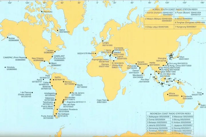 Cheatsheet
HF Stations
Cheatsheet
3857- Other
ENP133C- 2024 ADMIRALTY ENC AND ECDIS Maintenance Record
ENP133C- 2024 ADMIRALTY ENC AND ECDIS Maintenance Record Log book scanned pages.
6167 - Leisure marine
LSA CODE EDITION 2024
LSA CODE EDITION 2024
4465
 Image
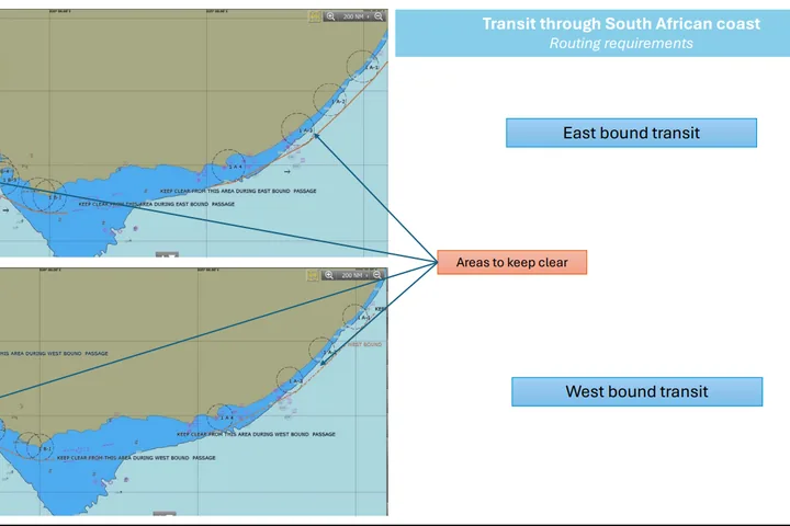
ROUTING REQUIREMENTS FOR TRANSIT THROUGH SOUTH AFRICAN COAST
ROUTING REQUIREMENTS FOR TRANSIT THROUGH SOUTH AFRICAN COAST
500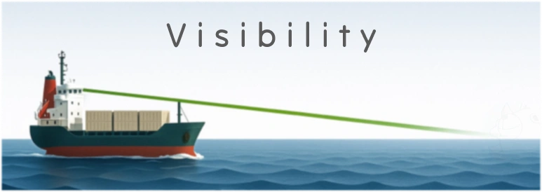 Resource
Visibility
Calculator for determining sea visibility distances based on observer and object heights.
0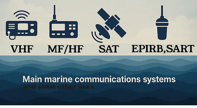 Resource
Maritime GMDSS Equipment
Maritime GMDSS Quick Guide
21- Safety information
Guidelines for the design and construction of offshore supply vessels, 2006 (2006 OSV Guidelines) Supplement December 2012
0 - Other
Crude Oil Washing Systems 2000 Edition Supplement
0 - Safety bulletin
Barbados anchor and winches
0 - PDF
FSS Code Consolidated Edition (updated to include 2024 Amendments)
2 - Chart
Gladstone
0 - Other
Yantai, China Port Info
0 - Leisure marine
LSA CODE EDITION 2024
5 - Cheatsheet
Loading soya in Brazil
0
- Resource
International Code of Signals Flags
International Code of Signals Flags
0 - Leisure marine
MLC NEW CONSOLIDATE EDITION 2022
MLC NEW CONSOLIDATE EDITION
1280 - Safety information
GISIS Alpha Codes
GISIS Alpha Codes International
1140 - Route information
LIGHT LIST Volume IV GULF OF MEXICO
This Light List contains a list of lights, sound signals, buoys, day beacons, and other aids to navigation.
120 - Route information
Coast pilot 4. Atlantic Coast: Cape Henry, Virginia to Key West, Florida
2024 (56th) Edition This edition cancels the 55th Edition and includes all previously published corrections.
170 - Safety information
MEDITERRANEAN SEA EMISSION CONTROL AREA FOR S
New SECA Area for Mediterranean Sea Panama Maritime Authority F-34 General Directorate of Merchant Marine (DCCM) Control and Compliance Department
430 - Route information
e-NP 5 - Rio Grande Port Information
This file contains information from e-NP 5 Sailing Direction about the port of Rio Grande. The information is useful for planning an itinerary to this port.
3400 - Cheatsheet
Calculator for Deck
Multi calculator for all bridge process
760 - Cheatsheet
ECDIS GUIDANCE FOR GOOD PRACTICE MSC.1/Circ.1503/Rev.1
IMO MSC.1/Circ.1503/Rev.1 ECDIS GUIDANCE FOR GOOD PRACTICE
3350 - Cheatsheet
Canadian Ballast Water Regulations SOR/2021-120
This consolidation is current to June 9, 2025. Any amendments that were not in force as of June 9, 2025 are set out at the end of this document under the heading “Amendments Not in Force”.
410 - Cheatsheet
Harbour Approach & Manoeuvring Plan for Adelaide, Australia
Harbour Approach & Manoeuvring Plan Adelaide, Australia
140 - Safety bulletin
resolution MEPC 361(79)
Mediterranean Sea Emission Control Area for Sulphur Oxides and Particulate Matter
490 - PDF
US Coast Pilot
Atlantic Coast: Eastport, Maine to Cape Cod, Massachusetts
150